Innovative regulatory approach to addressing soil erosion
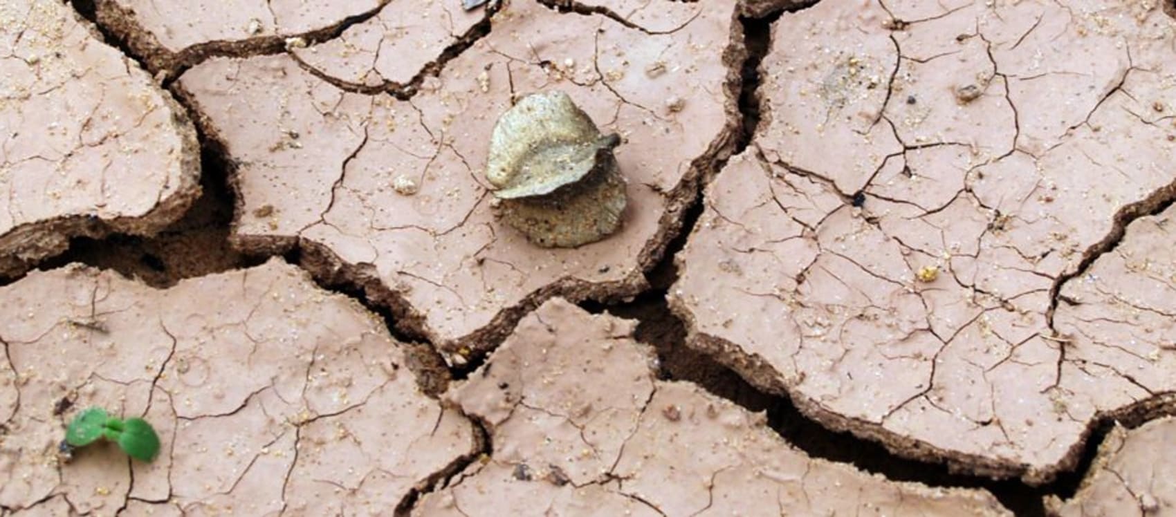
Soil and nutrients washing off agricultural land is the single most common reason for our rivers and streams not being as healthy as they should be.
Often the soil erosion can occur quite a distance from the polluted river or stream, finding its way by gravity via roads, paths, ditches and other fields. Crop rotations mean that every year these high risk sites can change location. To help find the ‘needles in the haystack’ the Environment Agency have turned to modern technology
 Fields of bare soil with no growing crops or grass covering them are clearly much more likely to lose their soil. The Environment Agency can now identify where they are by using the excellent images from the Sentinel 2 satellite, launched in 2015. The satellite crosses the UK every few days so gives an almost real time picture of land use, although it does have to have clear skies!
Environment Agency LIDAR data provides incredibly accurate information on the height and levels of land. For their search they identify all land that has a slope of more than 6%. This is because soil runoff is much more likely to happen when there is a steep slope. Clever computer modelling can then find areas that combine bare soils with steep sloping land. The yellow on this image show sites they are interested in!
 The next step is to overlay a highly detailed map of the river network. This includes tiny ditches and streams as well as larger rivers and gives a good idea of how soil and nutrients running off the land might find their way into the main river network.
Finally the Environment Agency add in details of soil types. Light, sandy soils are much more likely to be washed off than heavy clays. Not all bare fields will pollute. But they’re now better at finding those that do.
Equipped with this data Environment Officers know where to start looking after rainfall events. Initial results have been very encouraging. Of the 50 locations visited in early 2017, 13 were assessed as presenting a high risk of causing immediate pollution problems. 5 were actually causing pollution at the time of the visit despite only relatively small amounts of rainfall.
 Once the Officers have identified problematic fields they contact the landowners. The severity of the problem adjusts their response but in most instances the first course of action is a letter that explains the work they are doing and why the landowner is being contacted. The Environment Agency then explain the problem and whether any environmental permitting regulations have been breached. In worst cases they have referred farmers to the Rural Payments Agency as well as threatening them with an anti-pollution works notice. If pollution persists they will prosecute. Signposting to local advice from the Farm Herefordshire initiative has proven to be a popular solution too.