

Starting in August 2018 and funded by Welsh Government’s Sustainable Management Scheme, WISE is the latest of our projects working with farmers to protect and enhance natural resources in a way that benefits agricultural businesses, rivers and the wider community.
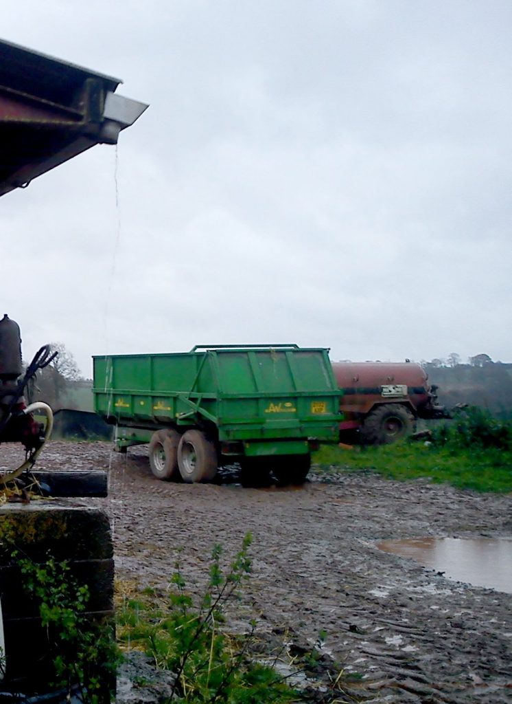
The project is in partnership with Severn Rivers Trust and will involve areas such as nutrient management, soil health, water quantity and biodiversity. As well as delivering environmental value, effective land management can also improve water quality in rivers, reduce flood risk, improve soil quality, enhance biodiversity and improve carbon sequestration.
Each rivers trust project area within WISE is made up of one larger catchment and several smaller catchments. The work in the former will concentrate on improving water quantity where local flooding is an issue and natural flood management techniques can be applied. In the larger catchments the focus will be on the natural resources within a farm. These can include water quantity, water quality and biodiversity and the wider benefits they support.
Within the Wye catchment, the project will focus on the upper Ithon (major upper Wye tributary) as the larger project area and the smaller tributaries of the Ennig and Felindre close to our offices in Talgarth.
Meanwhile, Severn Rivers Trust will be concentrating their efforts on the Camlad, Teme, Cain and Guilsford Brook.

 Before the project ends in June 2021, we will have visited at least 275 farms covering 41,000 hectares of agricultural land in mid Wales.
While the number of farmers taking part and comparative soil assessments will give us a picture of the success of WISE from an agricultural perspective, measuring the effects of the work on rivers, of course, will be equally important. Natural Resources Wales’s existing Water Framework Directive monitoring will continue throughout the length of the project providing water quality data.
The effects on flood risk management will be monitored by analysing flow data from Natural Resources Wales’s river gauging stations and the Foundation’s own monitoring equipment including our electrofishing data.

This project has received funding through the Sustainable Management Scheme – Welsh Government Rural Communities – Rural Development Programme 2014-2020, which is funded by the European Agricultural Fund for Rural Development and the Welsh Government.
Cyllidwyd y prosiect hwn drwy Y Cynllun Rheoli Cynaliadwy – Cymunedau Gwledig Llywodraeth Cymru – Rhaglen Datblygu Gwledig Cymru 2014-2020, a ariennir gan Lywodraeth Cymru a’r Gronfa Amaethyddol Ewrop ar gyfer Datblygu Gwledig.
